File:BlankMap-World-2009-2011-28-02-2011-01-03.PNG
From Wikimedia Commons, the free media repository
Jump to navigation
Jump to search

Size of this preview: 800 × 351 pixels. Other resolutions: 320 × 140 pixels | 640 × 281 pixels | 1,425 × 625 pixels.
Original file (1,425 × 625 pixels, file size: 73 KB, MIME type: image/png)
File information
Structured data
Captions
Captions
Add a one-line explanation of what this file represents
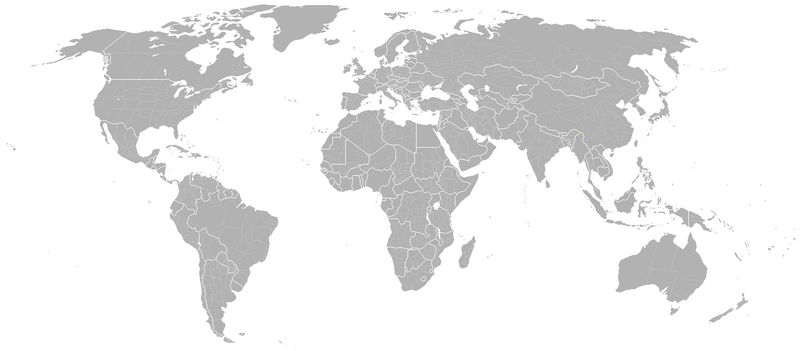
| DescriptionBlankMap-World-2009-2011-28-02-2011-01-03.PNG | Blank map of the world showing 2009 borders. Based on Image:BlankMap-World.png; as it is PD, this is too. This map is accurate for the period between 2008 (Independence of Kosovo) and May 2009 — . Previous map: Image:BlankMap-World-2005.png |
| Date | (UTC) |
| Source | |
| Author |
|
| This is a retouched picture, which means that it has been digitally altered from its original version. Modifications: Venezuela, Guyana, Suriname, French Guiana, Tanzania, Mauritania, Niger, Chad. The original can be viewed here: BlankMap-World-2009-2011-28-02.PNG:
|
| Public domainPublic domainfalsefalse |
| I, the copyright holder of this work, release this work into the public domain. This applies worldwide. In some countries this may not be legally possible; if so: I grant anyone the right to use this work for any purpose, without any conditions, unless such conditions are required by law. |
Original upload log[edit]
This image is a derivative work of the following images:
- File:BlankMap-World-2009-2011-28-02.PNG licensed with PD-user
- 2011-02-28T03:30:55Z Pozos 1425x625 (73457 Bytes) {{Information |Description=Blank map of the world showing 2009 borders. Based on [[:Image:BlankMap-World.png]]; as it is PD, this is too. This map is accurate for the period between 2008 (Independence of Kosovo) and May 2009
File history
Click on a date/time to view the file as it appeared at that time.
| Date/Time | Thumbnail | Dimensions | User | Comment | |
|---|---|---|---|---|---|
| current | 10:51, 13 May 2018 |  | 1,425 × 625 (73 KB) | JoKalliauer (talk | contribs) | Reverted to version as of 16:16, 1 March 2011 (UTC), somhow a renderproblem of the Wikirenderer (colors not displayed correclty) |
| 10:49, 13 May 2018 |  | 1,425 × 625 (37 KB) | JoKalliauer (talk | contribs) | reduced colours to Grayscale to reduce file size to embedd it in File:Long_Haul_Flights_Tambo.svg | |
| 16:16, 1 March 2011 |  | 1,425 × 625 (73 KB) | Pozos (talk | contribs) | {{Information |Description=Blank map of the world showing 2009 borders. Based on Image:BlankMap-World.png; as it is PD, this is too. This map is accurate for the period between 2008 (Independence of Kosovo) and May 2009 — . Previous map: [[:Image |
You cannot overwrite this file.
File usage on Commons
There are no pages that use this file.